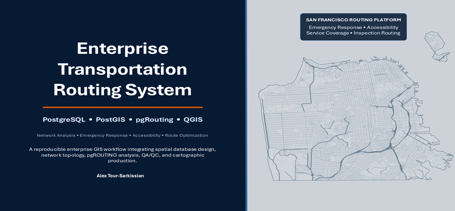
Turning raw road data into a validated, routable network.
A database-first enterprise GIS case study demonstrating how a large urban roadway network is structured,
validated, and turned into repeatable routing and accessibility decision-support products.
Road network data rarely arrives in a state ready for analysis. Edges are disconnected, geometries need
review, and a network graph has to be built and validated before any routing question can be answered
reliably. This project addresses that problem directly: a PostgreSQL/PostGIS database
holds the network model, pgRouting builds the routable graph, and SQL-based topology
preparation turns raw San Francisco road data into a validated network of 16,081 edges and 9,644 vertices.
From that network, four decision-support map packages were produced in QGIS — covering emergency response
routing, nearest-facility accessibility, emergency response coverage, and infrastructure inspection
routing. Each is backed by a reproducible SQL workflow, documented QA/QC, and backup/restore validation,
so the build can be re-run and independently checked rather than taken on faith.
Designed as a portfolio-grade demonstration of spatial database engineering, network topology preparation, pgRouting analysis, and enterprise-style QA/QC for transportation decision support.
Operational Decision Context
Built for the kinds of decisions transportation agencies make daily.
This system demonstrates a reproducible workflow for the questions routing, accessibility, and
service-coverage systems are typically asked to answer.
Designed to support
Transportation agencies
Utility organizations
Public works departments
Emergency-response planners
Infrastructure inspection teams
Public-sector GIS teams
Decisions it demonstrates support for
Shortest-path routing
Nearest-facility accessibility
Emergency-response coverage
Infrastructure inspection planning
Service-area analysis
Operational route prioritization
This project provides a reproducible workflow for these decision types. It is an independently designed and validated system, not a claim of deployment by any specific agency — see Methodological Scope & Limitations below.
System Architecture
A database-first pipeline from raw road data to decision-ready maps.
Each stage runs in PostgreSQL/PostGIS and QGIS, with SQL and Python automation supporting a reproducible build.
The project is organized so a reviewer can inspect the database structure, the SQL workflow, the map outputs, and the supporting documentation.
Database & SQL
Schema organization
Network tables
Routing queries
Topology preparation scripts
QA/QC scripts
Map Products
Four decision-support maps
Map exports
Cartographic layouts
Documentation
Methodology notes
Implementation notes
Executive summary
Release package
Backup/restore validation notes
Methodological Scope & Limitations
What this project demonstrates — and what it doesn't.
This project demonstrates enterprise-style GIS architecture: a database-first design in PostgreSQL/PostGIS,
a validated pgRouting network graph, and reproducible routing, accessibility, and service-area workflows
for San Francisco's roadway network.
It is an independently designed and validated project. It is not evidence of operational deployment by any
public agency, and it is not a substitute for live dispatch, real-time traffic, road-closure, or
field-condition systems. It should not be presented as a production emergency-response platform.